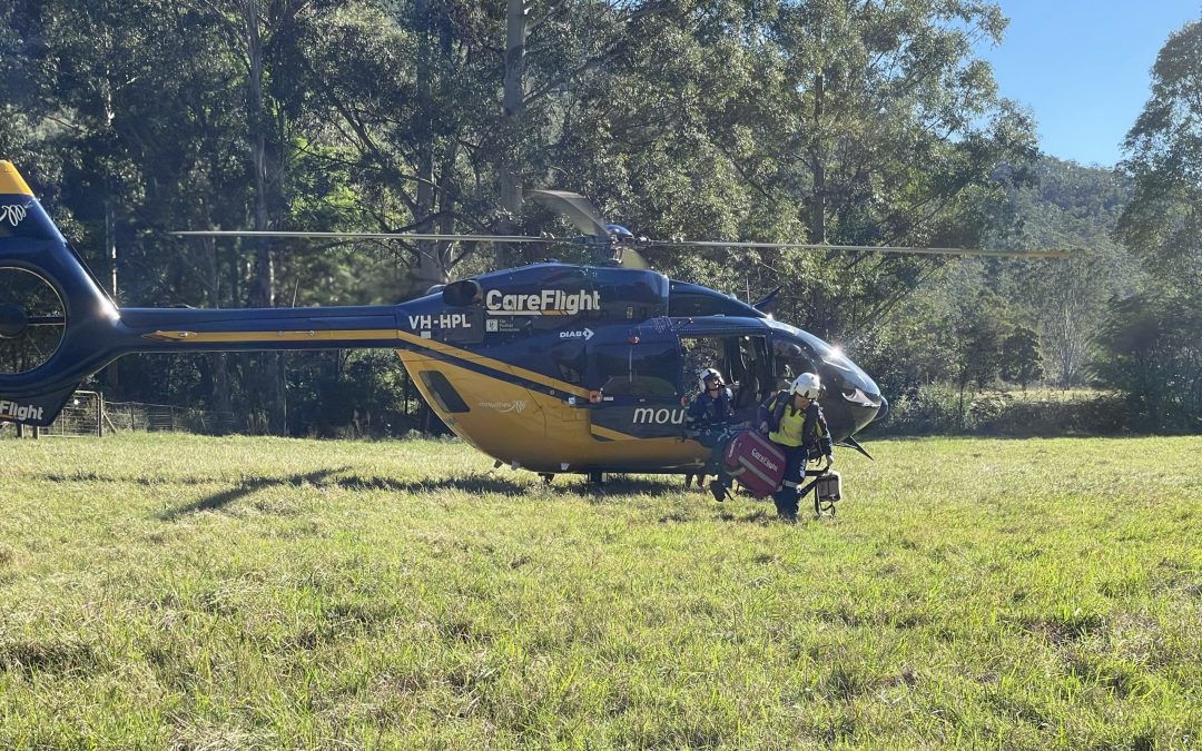
A man in his 40’s remains in a...
 (2000 × 75 px) (2000 x 60 px)")
A man in his 40’s remains in a...
From the Editor Here we are again, grappling...
The NSW Government is rethinking its water policy that may...
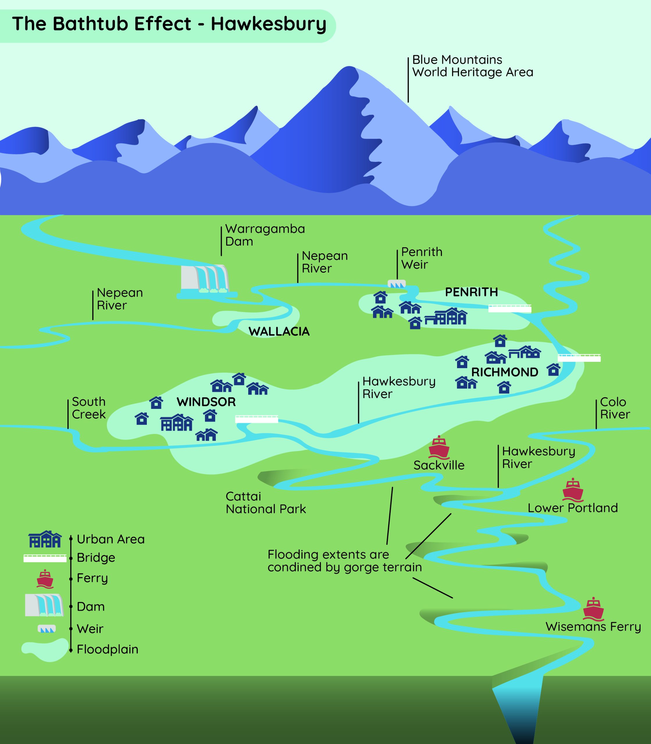
In the Hawkesbury Nepean Valley, five main tributaries pour water into the main river when heavy rains come. The Warragamba River is the most significant source.
Understanding the geography of the Hawkesbury Nepean Valley is crucial to comprehending the challenges posed by floods. The valley has narrow points where water gets stuck, raising the water levels. This phenomenon, known as the “bathtub effect,” is akin to a bathtub filling up because it can’t empty it fast enough.
Floods can raise the water 20 metres higher than usual at Wallacia, one of these narrow points. Downstream, at places like Penrith and Emu Plains, the land is low, and floods happen more—it is, after all, a natural floodplain. Even though Penrith has high riverbanks, floods can still reach parts of the town.
When the Grose Vale River adds to the flooding, as it did in the most recent April 2024 flood, it makes the “bathtub effect” worse downstream at places like Richmond, Windsor, and the Lower Hawkesbury. Further downstream, the gorges on the Hawkesbury at Sackville slow the river further. In the flat land between Windsor and Richmond, floods spread out quickly.
Creeks in the valley fill up during floods, and islands form in the floodwaters. This “bathtub effect” makes the floods in the Hawkesbury worse, putting many homes – and often lives at risk.
In June 1867, the Hawkesbury Valley faced its most significant flood since Europeans arrived and started taking records. Twenty people died in the disaster, including 12 members of the Eather family. It made an inland sea in the valley, isolating what were then small country towns like Windsor, Richmond, and Pitt Town. Water reached more than 19m above normal at Windsor.
If a flood like 1867 happened now, around 90,000 people would have to leave, and about 12,000 homes would be affected, according to the State Emergency Service (SES). The most significant flood in recent memory was in 1961, when water reached about 14.5 meters above normal in Windsor.
Since 2020, we have had seven significant floods in the Hawkesbury. Five of those were major floods, according to records taken at North Richmond, the largest peaking at 14.36 m in 2021. A little more than a year and three floods later, another 14m flood occurred in July 2022. Hawkesbury Flood Statistics has documented flood peaks at various locations, bridge closure heights and the number of days the bridges were closed during various floods. As you can see, no two floods are the same.

Opinion with Robyn Preston MP State Member for...

A team of Australian riders, including two from...

The Hawkesbury City Council convened for its...
A man in his 40’s remains in a serious condition...

137C Old Bells Line of Road, Kurrajong...

6 Rain Ridge Road, Kurrajong Heights Escape to...

1075 Putty Valley Road Putty, NSW 2330 Welcome...

8 Observation Close North Richmond, NSW 2754...
A team of Australian riders, including two from...

New Haven Farm Home is a local...

This Saturday, May 4th, the Hawkesbury Race Club...

When Pankaj Bhatia isn't managing his busy...
On Sunday 2 June, Kurrajong Heights Bowling Club...
New Haven Farm Home is a local...
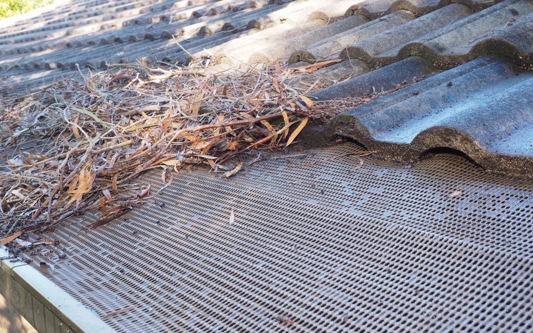
As the seasons turn and we dread the onset of...

By Imogen Abbott The sweet songs of Richmond...