A man in his 40’s remains in a...
 (2000 × 75 px) (2000 x 60 px)")
A man in his 40’s remains in a...
From the Editor Here we are again, grappling...
The NSW Government is rethinking its water policy that may...
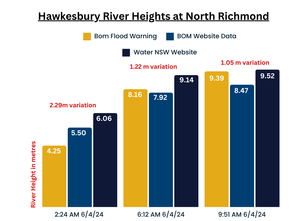
The Hawkesbury River surged well over two metres higher than was publicly reported during the height of the flood emergency on the night of April 5 and morning of April 6.
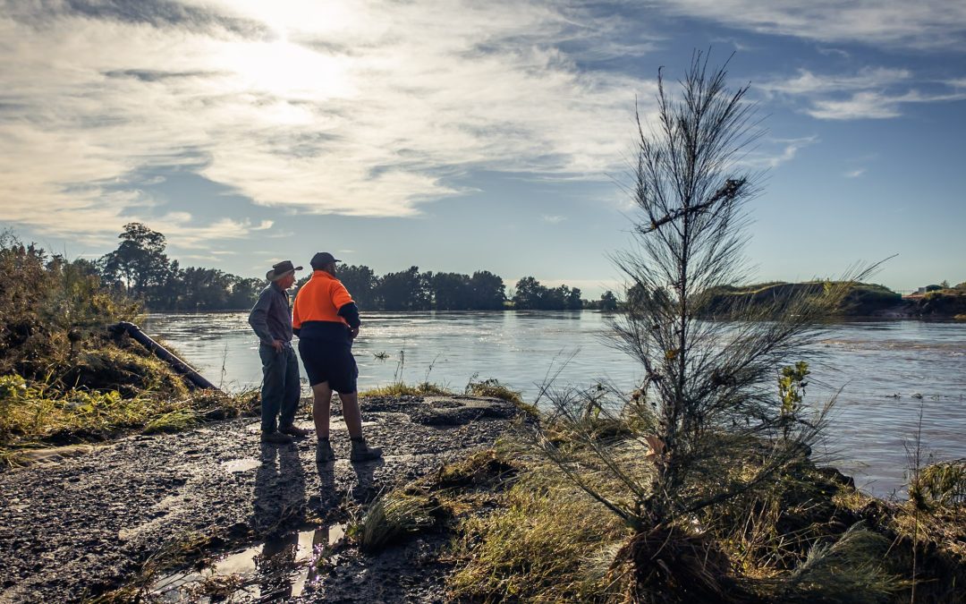
At the peak of the emergency when flood waters were cutting off evacuation routes and isolating people and properties, three different datasets recorded varying flood heights at North Richmond.
The river heights reported to the public by the Bureau of Meteorology (BOM) on APril 6 were significantly inaccurate, at least in part due to a faulty gauge near the Richmond bridge. AS a result the BOM failed in its duty to disseminate life-saving information during the crisis. Erroneous figures still linger on the BOM website as official records.
Compounding the chaos, Water NSW failed to provide an emergency alert to a flooding community that the Warragamba Dam would spill two days ahead of its prediction provided just half a day earlier on Friday April 5. Instead they issued an email at 4.15am on Saturday morning that the Dam would spill in the next six to eight hours. For a community relying on alert text messages, few saw it. It probably didn’t matter, as that too was wrong. The Dam began spilling just over an hour later at 5.45am. No one was alerted until after the event.
The BOM has acknowledged the issue but maintains that it forecast correctly a major flood, seemingly overlooking the critical importance of accurate and timely flood height information during the flooding event – information that is critical to evacuating communities and information that can save lives.
“Specific details of the irregularity at the North Richmond gauge are being actively investigated,” the spokesperson said.
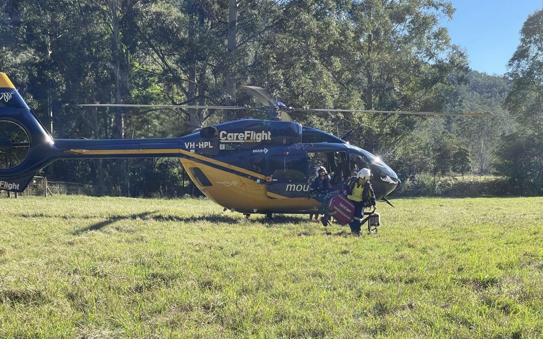
Many residents, unaware of the true extent of the flooding, found themselves in perilous situations. The Hawkesbury Post has been told of an elderly man in Londonderry waste-deep in water, ringing relatives to tell them the house was already heavily flooded. Others in the Richmond Lowlands found themselves in the dark and the rain evacuating livestock knee-deep in water, with just minutes to go before evacuation routes were impassable.
“Our flood forecasts draw intelligence from various sources, including satellites, radars, and a network of gauges. Despite irregularities at the North Richmond gauge, our peak flood forecasts remained timely and accurate,” a BOM spokesperson told the Post.
“The Bureau issued a Flood Watch for the Hawkesbury, Nepean and Colo Rivers on Wednesday 3 April with minor to major flooding expected from late Friday 5 April. Flood Warnings issued on Friday 5 April (24 hours in advance of the flood peak) correctly forecast river heights reaching the Major flood level at North Richmond.
“Any known irregularities at the North Richmond gauge did not affect the timeliness or accuracy of our peak flood forecasts,” the spokesperson said.
During a night of relentless rain, the BOM released the official Flood Warning Nepean Hawkesbury No.4 at 2:24 am on April 6, indicating a river height of 4.25 metres, still within minor flood levels. But the river was in fact much higher. Water NSW data shows the river height at 2.30am on April 6 was 2.25 m higher, at 6.50 m.
“The Hawkesbury River at North Richmond (WPS) is currently at 4.25 metres and rising, above the minor flood level (3.80 m). The Hawkesbury River at North Richmond (WPS) is likely to exceed the moderate flood level (7.90 m) early Saturday morning. With forecast rainfall, the river may reach the major flood level (10.50 m) Saturday morning,” the BOM said in the 2.24am Flood Warning No.4.
The BOM’s official data record of the river height (still available on the BOM website) recorded at the same time, states the river was 5.50 metres, more than a metre higher than they were telling the public but still a metre lower than the river’s true height according to the Water NSW data.
Further discrepancies persisted in subsequent updates. By 5 am, Water NSW records show the river was 8.64 m and rising, BOM data states the river, at the same time, was well below that level at 7.80 m\. At 6:12 am, when the BOM issued its next warning – Flood Warning Nepean Hawkesbury No.5, the river had surged well past 9 metres. The river was well on its way to forming a major flood according to Water NSW data, yet the official warning communicated to the public by the BOM in its flood update stated the river at North Richmond was just 8.16 m.
The spokesperson for the BOM told the Hawkesbury Post that the North Richmond river level gauge is owned and operated by NSW Water.
“The Bureau’s current understanding is the peak river height recorded at North Richmond of 10.52m at 8:15pm Saturday 6 April is correct, but we are working with NSW Water to confirm.
“The Bureau understands the gauge at North Richmond experienced data quality issues after the river peak was observed and we are working with NSW Water to understand any impacts on measurements.
“The observations from the North Richmond gauge will be assessed as part of the post event review,” the spokesperson said.


Opinion with Robyn Preston MP State Member for...

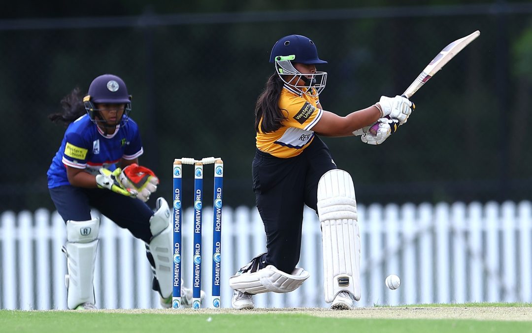
A team of Australian riders, including two from...

The Hawkesbury City Council convened for its...
A man in his 40’s remains in a serious condition...
137C Old Bells Line of Road, Kurrajong...

6 Rain Ridge Road, Kurrajong Heights Escape to...

1075 Putty Valley Road Putty, NSW 2330 Welcome...

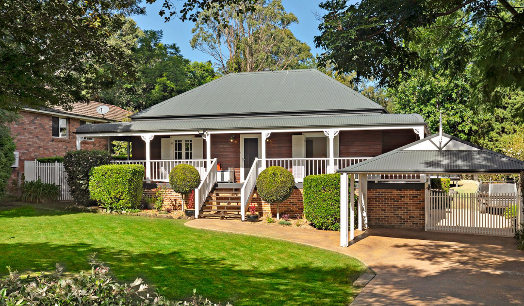
8 Observation Close North Richmond, NSW 2754...
A team of Australian riders, including two from...

New Haven Farm Home is a local...

This Saturday, May 4th, the Hawkesbury Race Club...
When Pankaj Bhatia isn't managing his busy...
On Sunday 2 June, Kurrajong Heights Bowling Club...
New Haven Farm Home is a local...

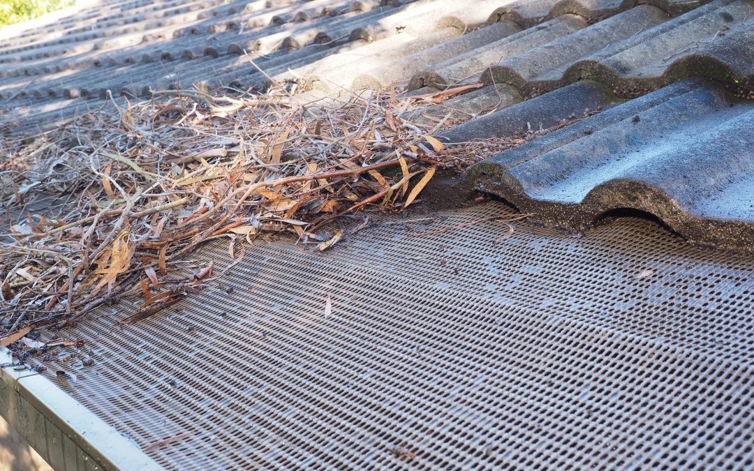
As the seasons turn and we dread the onset of...

By Imogen Abbott The sweet songs of Richmond...