Stylecraft & Co., approaching...

 (2000 × 75 px) (2000 x 60 px)")
Stylecraft & Co., approaching...
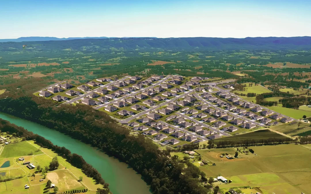
An unprecedented surge in development west of...
Hawkesbury City Council has stated it is not responsible...

This evening Hawkesbury Council will hold a public meeting of its Disaster and Emergency Committee to hear about peoples’ experiences during the latest floods. Out of that – and a basic online survey Council have been holding – you’d hope there would be some answers on key issues and potential actions before the next major flood comes along.
Here are some of the issues.
Sandbags…
When the waters rose, and first – as always – swept over Yarramundi Bridge, there were no sandbags readily available through Council and just 15 minutes before North Richmond Bridge went under it was announced a sandbag point had been opened at McQuade Park in Windsor – not a safe option for those west of the river with Windsor Bridge threatened too.
It’s not Council’s responsibility to get sandbags organised, that falls to the SES and they rely on a Rapid Relief Team, with Council’s role to facilitate the sandbags being handed out, but the whole process needs a shake-up, with clear lines of responsibility.
The fact was, Penrith had sandbags neatly stacked for residents to pick up from Jamison Park a good 24 hours earlier, so you’d wonder why sandbags weren’t available sooner in the Hawkesbury, given we all had a fair idea what was coming our way, thanks to last year’s drenching.
The potential for a flood similar to last year’s had been flagged by the Bureau of Meteorology and SES, though there was hope in official circles that this flood would be minor.
Once North Richmond bridge went under – and no-one from RMS or its contractors took the side rails down, which usually leads to an extended wait once it reopens – it meant those on the west side had no access to sandbags.
When it was announced sandbags were available in McQuade Park, at around 4.30pm – North Richmond Bridge went under about 10 minutes later – we asked the SES if we were getting any sandbags west of the river and were told it wasn’t looking likely.
Shortly after Northo bridge was engulfed, Council announced those on the west could get sandbags from the depot at Wilberforce, but that was an hour round trip for many along increasingly flooded and potholed roads during a downpour, not a safe journey by any means.
Evacuations and evacuation centres…
Things happened quickly after North Richmond Bridge went under – the first evacuation was for all residents of 13 streets in North Richmond because the SES had concerns about Redbank Dam failing. This was a new one to pretty much everyone. Locals who were being told to evacuate immediately for fear “the Dam” might fail called Hawkesbury Post confused and afraid, and also asked where our evacuation centre was. At that stage there wasn’t one, despite calls – most stridently from Macquarie MP Susan Templeman all this last year – for a specific centre for west of the river.
Over the Richmond side, although Richmond Club once again opened its doors and became the de facto centre for those on that side of the river it soon became apparent there was no plan for beds or food or other necessities, so MP Susan Templeman had to call on charity Hawkesbury’s Helping Hands to come along with some blow-up beds and supplies, which of course they did. But that shouldn’t have to happen – there should be a proper, planned system in place.
That evacuation due to the feared potential for 2 dams on the Redbank estate to break their banks was a real moment of panic for many long-time locals who mostly live well above the river flood level.
As the situation unfolded we spoke to several Hawkesbury councillors in a bid to find out where the west of the river evacuation centre was – none of them knew. In the meantime evacuees either stayed put at home, went and drove around for a while, or stayed with friends overnight.
Eventually Council announced the Merroo Christian Centre at Kurrajong would open its doors, but again, why was this not communicated to everyone earlier? And if it was, that communication failed dismally.
We’ll cover Council’s messaging and communications in a separate story very soon.
West of the river – which was totally cut off in last year’s floods because of a landslide at Bells Line of Road – has no hospital, no police station, no dedicated evacuation centre, or emergency control centre, and this year no easy access to sandbags.
Our remote areas…
One lesson that had been heeded from 2021, by the SES in particular, was that the folks living in some of our more remote areas, particularly Upper Colo and the Macdonald Valley, needed emergency support quick. Last time around the Macdonald Valley – known by locals as Forgotten Valley because, well, they are often forgotten about, only had one single police officer to help with catastrophic flooding. Council’s much vaunted Emergency Dashboard didn’t cover closed roads in the Macdonald Valley. Back in 2021, it took 4 days for the SES to arrive on scene and locals were furious.
They delivered foods, medicines, and other supplies, and picked up trapped locals who wanted to get back on some dry land. SES and RFS helicopters were busy across our region on both rescue and resourcing runs.
There were some complaints rescue boats were being driven too fast on the rivers, the wash sweeping into already waterlogged houses on some occasions and causing even more angst – more lessons learnt. The police officer based at Wisemans Ferry brought up community concerns about this with the SES and emergency services slowed the boats down.
Unfinished business…
Other issues revolved around Council’s lack of progress on critical road repairs, especially at Lower Portland where locals are tired and frustrated by a year’s wait for repairs to 2 one kilometre stretches which have still not been finished and this time around suffered even more damage from lack of drainage.
Residents at Lower Portland want a work crew getting Greens Rd repaired, working day and night if that is what it takes, and you can’t blame them, the workaround route is damaging their vehicles and completely stressing residents and they are staring at another extended period without a proper road.
Some Greens Rd residents have told the Post they want Council to get out of the way and work to be carried out by the State directly.

Damage to Upper Colo Rd in this year’s flood
At Upper Colo they still do not have a bridge between Upper Colo Road, again a year after it was washed away in the 2021 flood. This time around locals told us parts of the damaged heritage bridge left on the riverbanks by Council for 12 months had washed away, which adds some insult to injury.
This year’s floods have made the plight of the people at Upper Colo even more precarious due to damage to Upper Colo and Hulbert Rds, roads either side of the river, and of course with no bridge between them. When they asked last week for urgent help on road repairs, Mayor Patrick Conolly replied with the timetable for replacement of the bridge – which they already knew – and didn’t mention the damaged roads. The bridge timetable sees work get underway soon, but that cannot happen until Upper Colo Rd is repaired.
And then there is Cornwallis on the Windsor lowlands where once again a year after the last floods, Council has not finished work on the road and the major piping system there, and now it is very seriously damaged as this year’s flood ripped out massive parts of the area.
At Wisemans Ferry many locals were essentially trapped after landslides came down blocking Settlers Road. Initially locals stepped in to help clear the debris, as they did at Upper Colo – they have to, otherwise they would be waiting a very long time for help.
Will it flood next year too? Who really knows, but this is the third flood in three years, which is surely long enough for the authorities to learn the lessons of the last two big Hawkesbury floods.
Main picture – Richmond Road, Berkshire Park at the height of this year’s floods, taken by Daniel Lockerbie
If you are already a Hawkesbury Post supporter, thank you! Our site is free, relying on our supporters to operate. Independent journalism is more important than ever, please consider contributing.
Don’t pay so you can read it. Pay so everybody can read it!
Stylecraft & Co., approaching its...

The Hawkesbury's own Courtney Nevin is set to...

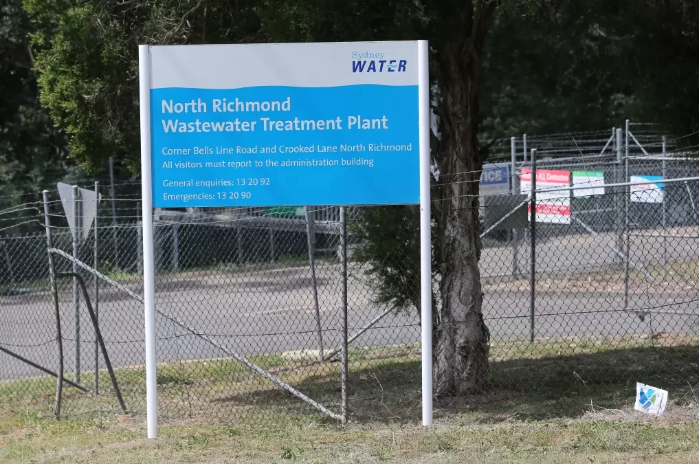
Following the revelation of high concentrations...
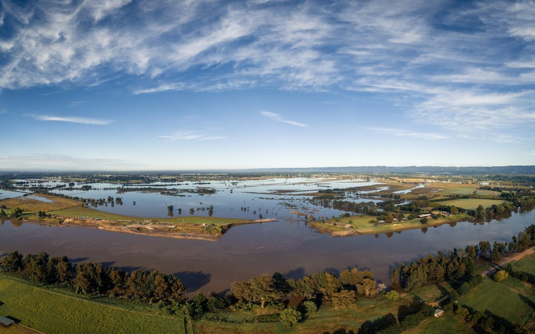
When the first of a series of major floods hit...

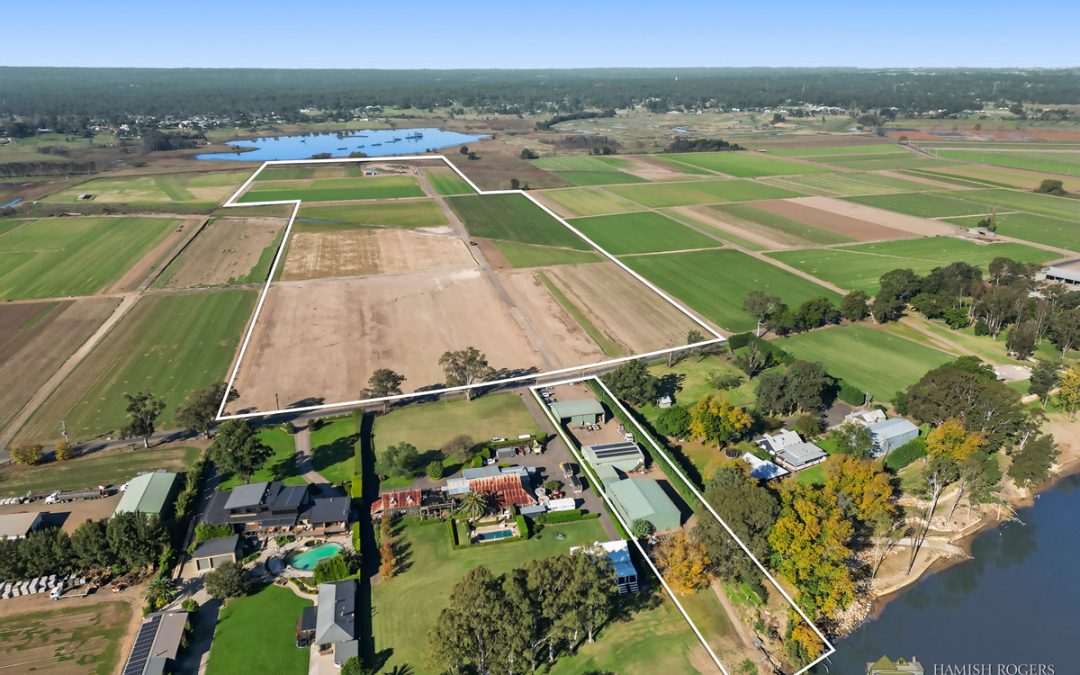
829 Upper Colo Road, Colo Perfectly...

11 Terrain Road, North Richmond Welcome to 11...
259 Pitt Town Bottoms Road, Pitt Town Bottoms...
53 Hawkesbury Street, Pitt Town Hamish Rogers...
The Hawkesbury's own Courtney Nevin is set to...

At just 16 years old, Mikaela Shedden has...

With a dedication to equestrian sports which has...

In a spectacle that captivated a packed Stadium...

Huge crowds descended on Clarendon Showgrounds...

by Imogen Abbott Fantasia Showstoppers is...
On Sunday 2 June, Kurrajong Heights Bowling Club...

New Haven Farm Home is a local...