Windsor's Kachan School of...

 (2000 × 75 px) (1)")
Windsor's Kachan School of...

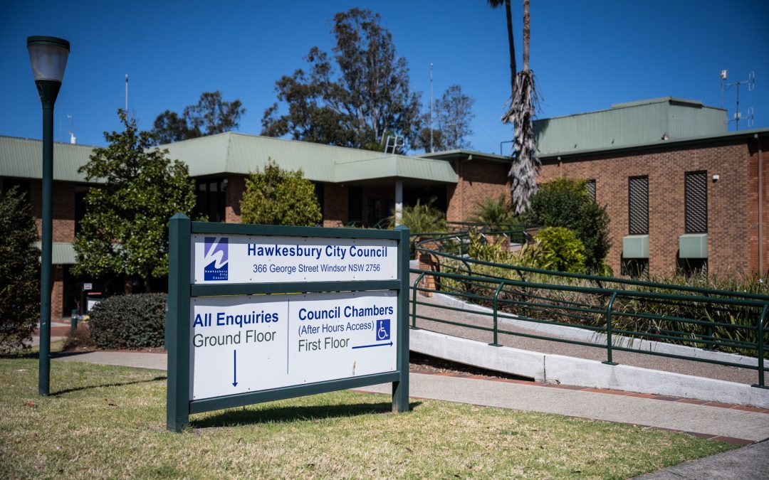
Hawkesbury...
Hawkesbury City Council (HCC) has voted against the...

As much as 15,800 hectares (39,000 acres) of vegetation – some of it potentially home to threatened species – could ultimately be cleared by Hawkesbury landowners if Council decide to opt into the new Rural Boundary Clearing Code (RBCC).
If that level of land clearing went ahead it would mean some 5.7% of the Hawkesbury could be bulldozed or chain-sawed, according to a report to councillors.
Last night at a full meeting of Council, in a heated and sometimes bad-tempered debate which included allegations of ‘smirking’, ‘disorderly conduct’ and ‘dishonesty’, and a rebuke to the Mayor from one of his former colleagues, members were split between Liberal councillors wanting to swiftly opt in to the new Code, and a majority who want the issue to go out to public consultation and to find out more about the workings of the Code before a final decision is made.
The new Code came into force in September and is administered by the RFS but Hawkesbury is one of several councils not automatically covered and would need to opt in to allow our landowners to clear up to 25metres of bush and other vegetation on the boundaries of their properties, which might be judged a fire hazard.
At the moment, if you own land in the Hawkesbury and want to clear some of it to protect your property against fire hazard, you can use the so-called 10-50 rule which means you can clear trees 10m from your home, and a further 50m of vegetation to protect your property from fire. You do not have to ask permission to carry out 10-50, though there are some areas of the Hawkesbury where ‘endangered ecological communities’ can mean this is not an option.
For larger clearances you have to apply to Council via a Development Application, which is onerous, takes time and costs money, or you ask the RFS if you can clear land for fire safety reasons – and they rarely agree to that.

The new Code applies to land with rural zonings, so RU1 and RU2, for example, but not to E4 zoned land on which some of the Hawkesbury’s most fire-vulnerable properties sit.
A report before councillors last night from Council staff said there were a number of negatives to opting in to the Code, including the large amount of land that could be cleared “in a worst case scenario”, the potential impact on flora and fauna, including koala habitats, and the potential for “irresponsible clearing [to] occur”.
Bilpin landowner Martin Tebbutt
The report also pointed to the potential for neighbour conflict, massive fragmentation of habitats, an “enormous impact on ground-dwelling fauna that need vegetative cover to move around”, plus there may be “no regard for old-growth habitat trees with large hollows”, the potential for major soil erosion, and water quality degradation as landholders could clear on steep land, even though the Code restricts clearing to gradients less than 18 degrees.
“The question with this and indeed other aspects of compliance is who monitors this?” asks the report.
The Council staff report says, “it is estimated that application of the Code, could over the passage of time (and in a worst-case scenario) should all property owners apply the Code, see a total of 15,800 Hectares of land cleared in zones that the Code would apply to. This is the equivalent of an area 12.57Km by 12.57Km (5.7% of the Hawkesbury local government area).”
Liberal councillor Sarah Richards told the meeting the council should opt into the Code immediately and she put a Motion up to that effect. She took all but a few minutes of her allotted time to speak to read out a letter from Bilpin resident Martin Tebbutt [full version of the letter at the base of this story] who has been leading a crusade over several years for the right to clear vegetation along one of his boundaries. Mr Tebbutt said it was unlikely anywhere near the expected amount of land mentioned in the Council report would be cleared but compared it with the amount lost during the 2019-20 bushfires – some 5.3m hectares.
“I firmly believe Hawkesbury City Council should be opting in and opting in now,” said Cllr Richards. “Any delay could potentially result in harm.”
She said she had joined the RFS after being told harrowing stories from survivors of the 2019-20 bushfires.
But councillor Nathan Zamprogno, until recently a Liberal councillor but now sitting as an independent, put up an amendment seconded by independent councillor Pete Reynolds to consult with the community before making a decision on whether to opt in to the Code.
“I support the reform of hazard management,” said Cllr Zamprogno, “but I’m frankly very disappointed with the way councillor Richards has advanced it.
“It ignores the fact we need to do a lot more work to establish what would be needed to establish this Code to work well and resource Council to do it. The real importance of this issue has weighed on my conscience. The memory of 65 homes lost in our own LGA has led me to consult widely with eminent experts in this field,” Cllr Zamprogno said.
He said he’d spoken to many experts in hazard reduction and fire fighting, none of whom he wanted to name, and he said that had raised many questions about the Code and whether it was the right tool.
He also pointed out that for some land zones the Code offered nothing for residents, especially those whose homes back onto National Parks land – Bowen Mountain is one example of that.
Cllr Zamprogno said he hoped Mayor Patrick Conolly and Cllr Richards understood that many held “reasonable concerns” about a Code that was made public just a month ago.
But Mayor Conolly weighed into his former colleague, saying, “just saying I’ve spoken to really good experts and they have all told me I’m right, if you’re not willing to tell us who it is and what they’ve said, and where on the record it is, I don’t know we can really pay much attention to that.
“For our community it’s really important that we opt in now, that we give them the authority to do what they need to do now to protect their own houses now, not kick this down the can and come up with all sorts of excuses to push this decision away before an election so we don’t have to say no before an election and have an unpopular view,” said the Mayor.
Deputy Mayor Mary Lyons-Buckett asked if the issue had come up and been discussed at the Bushfire Management Committee, which the Mayor sits on.
“I’m just wondering if this is a matter which has been discussed at Bushfire Committee,” she said.
“I’d be interested in what the take on this is from the Hawkesbury RFS? I know there have been contradictory opinions from individual RFS members, but we have not received anything on that from them?”
Andrew Kearns, Council’s Manager of Strategic Planning, said there had been nothing from the local RFS that he knew of.
Cllr Reynolds – who used to be an RFS member – said the Code was “a really concerning issue and most concerning part is the RFS itself said this boundary code does not apply to the Hawkesbury”.
“The RFS with all its skill, experience, and knowledge states the Code does not apply to the Hawkesbury. There is no information contrary to that RFS position, there is no data and no science to support it.
“The government commissioned an independent inquiry into bushfires and made 76 recommendations and boundary clearing was not one of them. The RFS personnel I have spoken to, none of them knows where the 25 metres come from,” said Cllr Reynolds.
“If you could get senior RFS personnel to come to us and say you guys need to opt into the Code then, hey, we are all for it, we have confidence in them, but we don’t have confidence in a Motion which just says, opt in, without any reason to justify it apart from fear.”
The temperature was raised when a spat broke out between the Mayor and Cllr Reynolds over whether it was the RFS or the government who issued the Code.
“You are being disorderly Cllr Reynolds,” said Mayor Conolly as Cllr Reynolds argued the point with him.
“You’re being dishonest, sir,” replied Cllr Reynolds.
“Cllr Reynolds you’re being disorderly.”
Greens councillor Danielle Wheeler who is a member of the local RFS said it was clear the NSW RFS brought out the Code.
“Senior RFS members I have spoken to over the weekend remain unconvinced,” she said.
“They say knock it back, it’s an excuse for clearing land unnecessarily, to, it’s a knee-jerk reaction to satisfy the Nats. People [RFS volunteers] who have risked their lives in major bush fires over the last two decades have said things like, “a clear edge won’t make any bloody difference, it won’t stop ember attack, it won’t stop spotting, it won’t work with our topography. It wouldn’t have made any difference in 2019-20 bushfires when fires spotted from ridge line to ridge line. It will give people a false sense of security and possibly stop people evacuating early enough,” said Cllr Wheeler.
“What I find really troubling is, that none of these senior RFS members will speak on the public record for fear of backlash and reprisal, and well you can smirk and shake your head Mr Mayor but these are the legitimate concerns of people who put their lives at risk in 2019-20 for our community and I was in the comms room when this happened, listening to people cowering in vehicles during burn overs, so do not smirk.
“You’re out of order Cllr Wheeler,” said an increasingly testy Mayor. “You do not speak to any other councillor like that, including myself. I’m allowed to have any reaction I’d like.
“We’re all supposed to believe you just because you say so, that you’ve spoken with all the RFS people and they all agree with you, but none of them will say it, and I find that quite troubling.”
But councillor Zamprogno, summing up as the mover of the amendment, took a swipe at his former colleague.
“If a member of the Greens Party and someone as right of centre as I, both come to you and say we have been speaking with local people, eminent people, decorated people, people who are experts in this field whose profession is things like bushfire hazard consultancy, and we say there seems to be a common theme or caution, then we’re not fibbing.
All but the three Liberal councillors – Patrick Conolly, Sarah Richards and Tiffany Tree – voted to put the issue out for public consultation and to relevant stakeholders and to additionally find out what resources Council would require if they opted into the Code.
If you are already a Hawkesbury Post supporter, thank you! Our site is free, relying on our supporters to operate. Independent journalism is more important than ever, please consider contributing.
Don’t pay so you can read it. Pay so everybody can read it!
Here’s Bilpin landowner Martin Tebbutt’s full letter to Hawkesbury councillors:
The HCC Planning Department’s “key considerations” advice to Councillors on the RBCC contains a claim that (in a worst case scenario) 15,800 hectares, or 5.7% of our LGA could be cleared.
This sounds very alarming, but we submit it lacks perspective, and Councillors should factor into these considerations that it does not appear to allow for many realities which may include:
* lots where fence lines are already cleared
* lots facing main roads,
* lots that owners particularly wish to keep untouched and
* mountainous terrain where it is probably impossible to clear.
The advice also does not highlight that many blocks actually adjoin the numerous National Parks, including Wollemi and Blue Mountains and these landowners constantly face even greater extreme risk.
Balanced against this figure of 15,800 hectares (39,000 acres) or 5.7% of the Hawkesbury LGA that could be vulnerable is the NSW Department of Planning, Industry and Environment (DPIE) statistic that as at 28 January 2020 (and fires were still burning then) NSW had 5.3 million hectares (13 million acres) or 6.7% of the State actually burnt. The 15,800 hectares figure, in the Hawkesbury, is equivalent to just 0.3% of the 13 million hectares that burnt.
At 9 March 2020 there was an estimated 18.6 million hectares (45 million acres) burnt across Australia.
The DPIE also advises that more than 80% of the World Heritage listed Greater Blue Mountains Area and 54% of the NSW components of the Gondwana Rainforests of Australia World Heritage property were fire affected.
We are concerned that Councillors may be receiving advice and information from staff that do not reside in a bush fire prone area and have not actually been on the receiving end of fire terror. We submit that the recommendation to consult with the Hawkesbury community means well but it may also allow for an imbalance of views from those who are not at risk of bush fire.
Under the heading of Potential Impacts council staff seem to have provided 13 negative impacts and 1 positive being that Council may be criticised by property owners in bush fire areas for not opting in. This could mean that the author/s at Council is endeavouring to influence the considerations and encouraging Councillors to opt out..
This includes the reference to landholders being able to apply to the RFS for a Bush Fire Hazard Reduction Certificate. This onerous approval application requires the completion of two pages of details and maps which must be done via the 12 page instructions that we have experienced to be unreasonable.
It is actually titled the BUSH FIRE ENVIRONMENTAL ASSESSMENT CODE- SUPPORTING
DOCUMENT – BUSH FIRE HAZARD REDUCTION CERTIFICATE ENVIRONMENTAL
APPROVAL – APPLICATION FORM. On two occasion we have endured this process only to be refused on the illogical basis that our fence was not fully established. This was correct given that the fence had already been burnt out by bush fire. Many other restrictive conditions can also attach if approved.
All have seen the absolute destruction of the 2019-2020 fires and surely a reasonable, rational view and presentation to Councillors of the Potential Impacts ought to include informed opinions from residents
that live in and have directly experienced the ravages of fire.
We submit that human life, personal possessions and the mental health of fire victims ought to be at the top of Council considerations.
Asbestos has been discovered at the PCYC...
A shroud of secrecy has been thrown over 23...
The fate of one of the Hawkesbury’s iconic...
A woman has died after a boating incident on the...
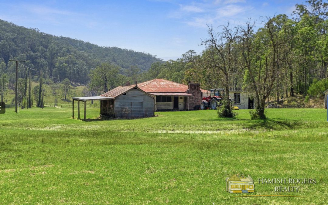
7201 Putty Road, GARLAND VALLEY Hamish Rogers...
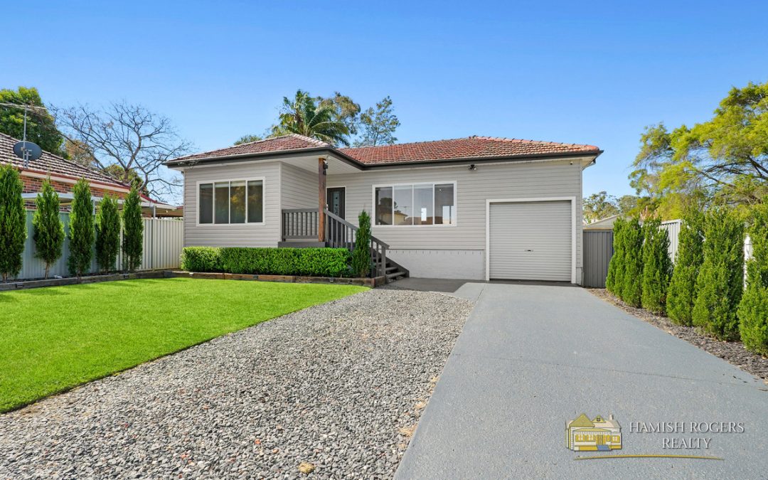
Hamish Rogers Realty is proud to present this...
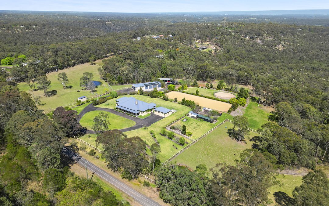
Hamish Rogers Realty is honoured to be marketing...
Only a couple of minutes from Bilpin village,...
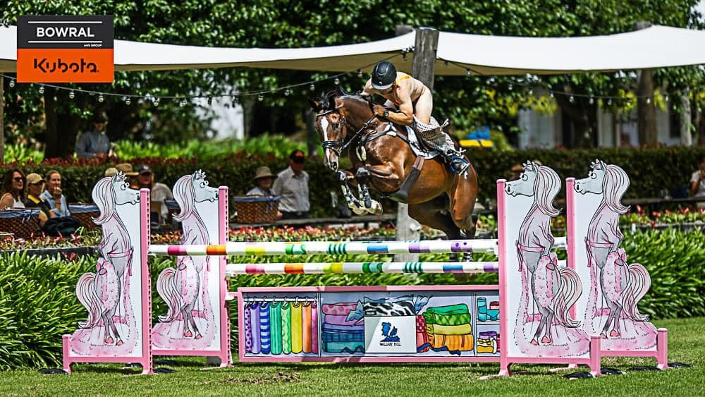
Equestrian sponsor Bowral Kubota has swung in to...

In the fast-paced world of sailing, where...
In a surprising turn of events, self-proclaimed...
Windsor's Kachan School of Tumbling and...
Windsor Optometry recently celebrated a...
In the lead-up to National Bird Week, Hawkesbury...

From 10am on Wednesday, children aged 0-5 years...

The Windsor Function Centre has come alive with...