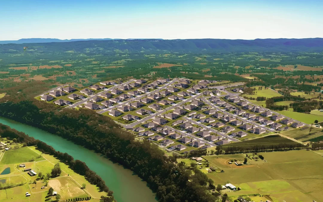
An unprecedented surge in...
 (2000 × 75 px) (2000 x 60 px)")
An unprecedented surge in...
Hawkesbury City Council has stated it is not...

"I am thrilled beyond words and never expected to win the...
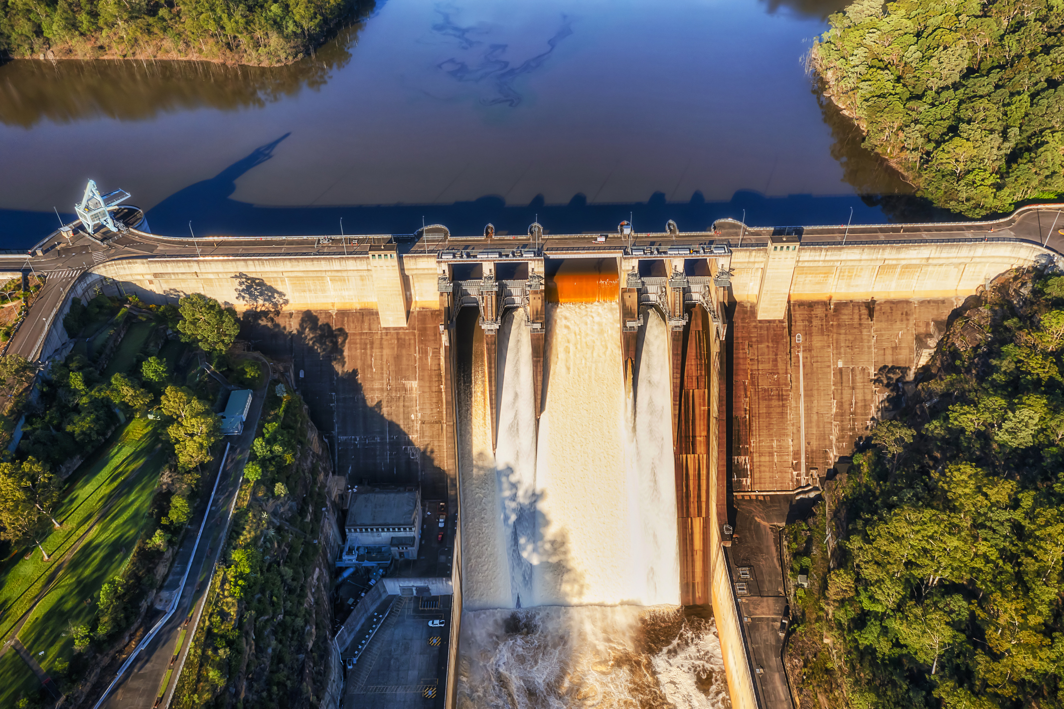
One of Australia’s leading water experts, Professor Stuart Khan, said that the huge water spill from Warragamba Dam onto the Hawkesbury/Nepean floodplain could have been significantly mitigated if the dam had been lowered by 12 meters prior to the event. This reduction in water level would have created nearly 800 gigalitres of flood mitigation capacity, likely preventing the dam from overflowing and sparing the North Richmond Bridge from closure.
“Almost certainly there would not have been an uncontrolled release from Warragamba. That’s not to say there’d be no flood since Warragamba is not the only flood source. But yes it would have been significantly mitigated,” he told the Hawkesbury Post (HP).
Residents are dubbing this incident the “Dry Flood” due to the minimal local rainfall involved. The vast majority of the floodwater originated from Warragamba Dam following heavy rain in its catchment area. “I don’t even want to think about how bad this would have been if we’d had that rainfall locally, it would have been a catastrophe,” a local farmer told the HP.
Despite some flooding at Menangle from the upper Nepean, Professor Khan believes these flows alone wouldn’t have caused the Richmond Bridge to close, emphasising that the Warragamba Dam spill was the primary factor.
Hawkesbury residents, farmers, and businesses are at their wit’s end. “We are just sitting ducks,” one resident lamented. “How much more of this do we have to go through before anyone does something? We just can’t go on like this.” This latest flood marks the ninth significant event since 2020, with the repeated disruptions forcing many local businesses and farmers to question whether they can continue.
Richmond recorded just 27.4 mm of rain the day before the flood, but the rapid rise in river levels, swiftly upgraded from minor to major flood status, caught many by surprise. The NSW Government is currently reconsidering its water policy, which may include lowering the capacity of Warragamba Dam permanently to 80 per cent to mitigate future flooding impacts on Hawkesbury residents. However, implementing this measure depends on supplementing Sydney’s water supply, a process that will take time. This would be done by doubling the capacity of Sydney’s desalination plant.
At present, about 80% of Sydney’s drinking water comes from Warragamba Dam. The rest comes from a mix of other dams, the Hawkesbury-Nepean River and the Sydney Desalination Plant at Kurnell.
Premier Chris Minns acknowledged the delay in providing immediate relief. “Supplementing the water supply would take time. So that’s not going to give us immediate relief,” he said in April.
Meanwhile, the Hawkesbury continues to suffer from repeated flood events. Businesses, such as turf farms, face million-dollar bills for each flood, and local businesses in Windsor, Richmond, and North Richmond report significantly reduced trading as customers and staff cannot cross the flooded bridge and tourists stay away. Council is fighting a losing battle with the ever increasing damage to local roads, each flood compounding the damage, patchwork repairs often lasting only days.
The riverbanks have been decimated and again deteriorate with each flood. Sinkholes are now forming not just along the river but also on roads and in the town of Windsor. In the Lowlands, businesses and horse properties are losing millions each flood, due to the collapsed river levee at Cornwallis, which has remained unrepaired for four years. It was caused by Hawkesbury Council’s failure to maintain a drain network. Council did not repair the initial 20 metre collapse levee which today, after successive flooding events is an environmental disaster spanning more than 300 metres.
The infrastructure in the Hawkesbury is inadequate for the environmental challenges it faces. The Windsor Bridge’s functionality is inconsistent, and the new bridge at Richmond is only designed to withstand a 1:20 flood event, and will be built on one of the lowest parts of the floodplain. The only flood-free route, known as the Purple Route, was deemed too expensive and rejected to protect property development west of the river.
As cries for help continue to funnel into public inquiries, the future for tens of thousands of residents, farmers, and businesses remains increasingly uncertain.

An unprecedented surge in development west of...
The New South Wales Government has unveiled a...
The Secret Garden at Western Sydney University...

More than 320,000 chickens will be destroyed in...

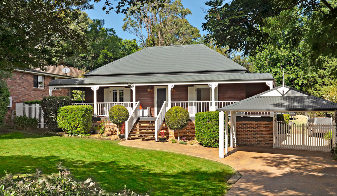
34 Moorhen Street, Pitt Town Step into...
137C Old Bells Line of Road, Kurrajong...

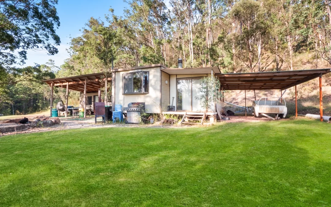
6 Rain Ridge Road, Kurrajong Heights Escape to...
1075 Putty Valley Road Putty, NSW 2330 Welcome...

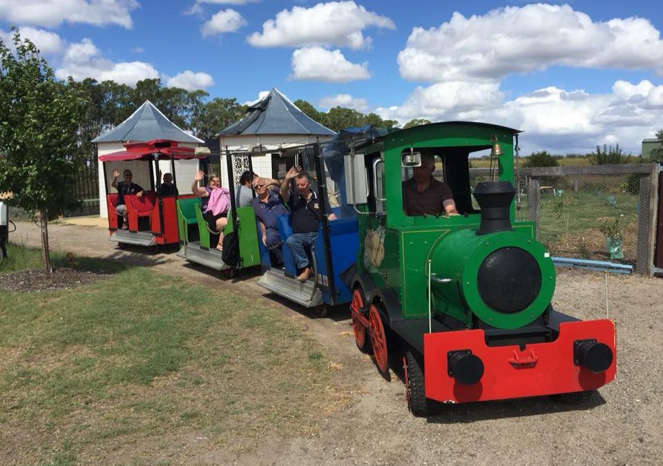
With a dedication to equestrian sports which has...

In a spectacle that captivated a packed Stadium...

by Imogen Abbott Hawkesbury teenager Emily...

A team of Australian riders, including two from...
On Sunday 2 June, Kurrajong Heights Bowling Club...

New Haven Farm Home is a local...

As the seasons turn and we dread the onset of...

By Imogen Abbott The sweet songs of Richmond...